Platforms
**Please follow institutional & FAA guidelines before making a purchase.
Quadcopter
Fixed-wing
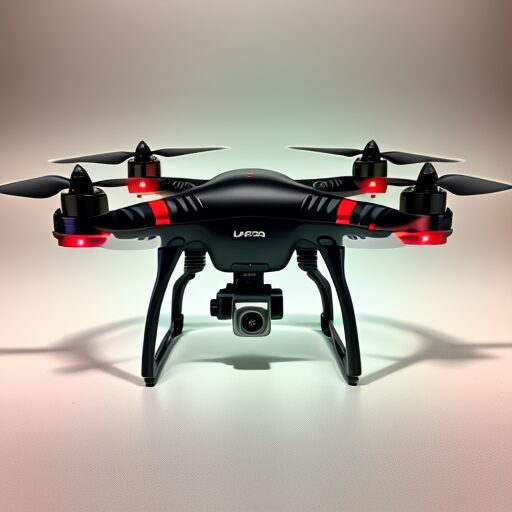

Freefly Systems
IF800 TOMCAT
Sony Airpeak S1
AgEagle
Wingtra
Sensors
RGB
LiDAR

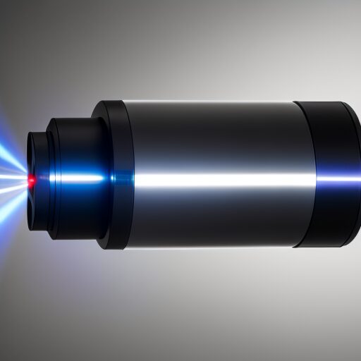
Sony
Phoenix
Multispectrum
Thermal
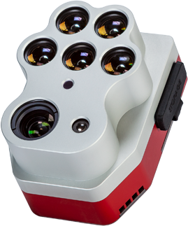
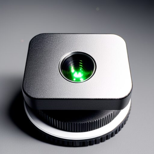
MicaSense
WIRIS Pro
Georeferencing
Ground Control Point
Area of Interest


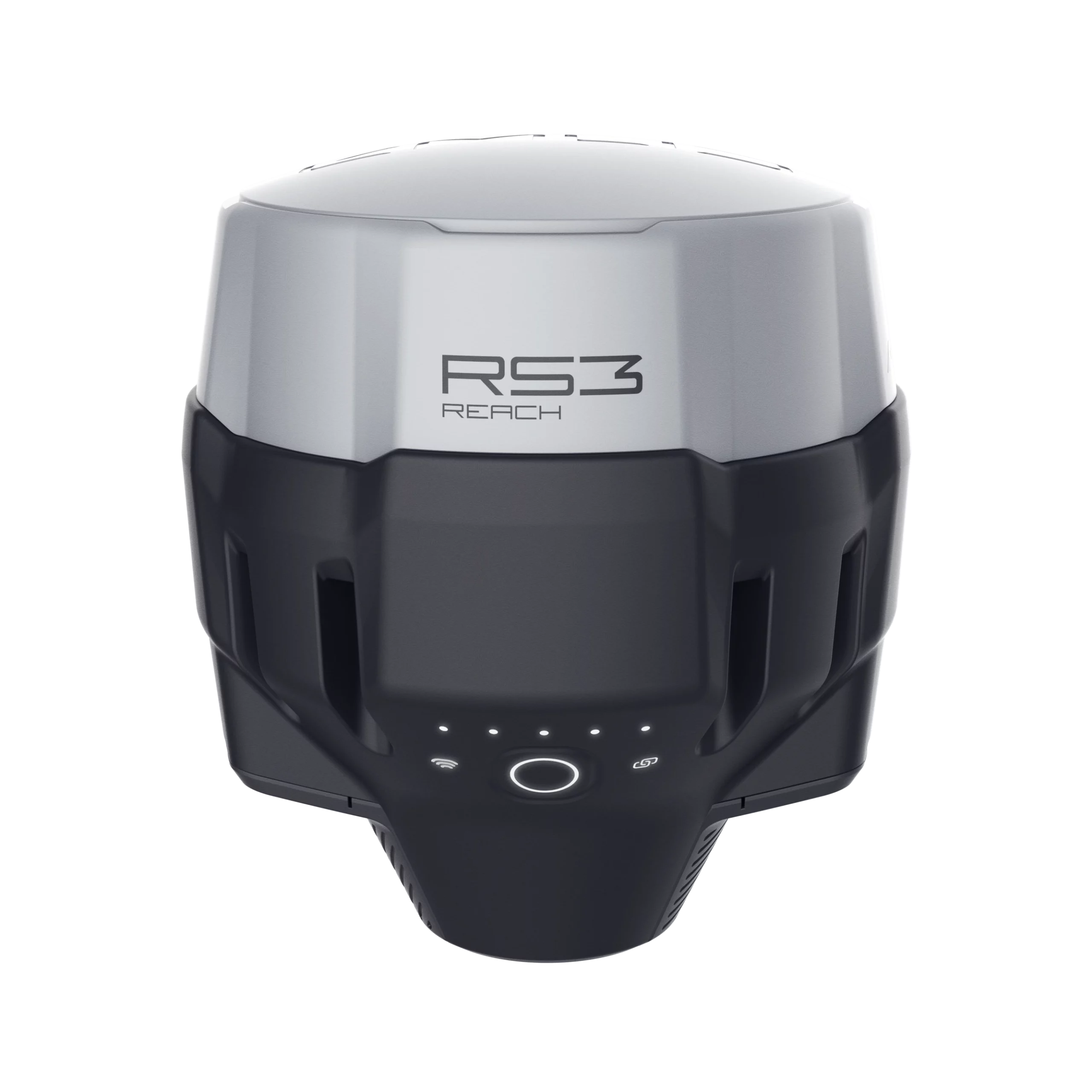
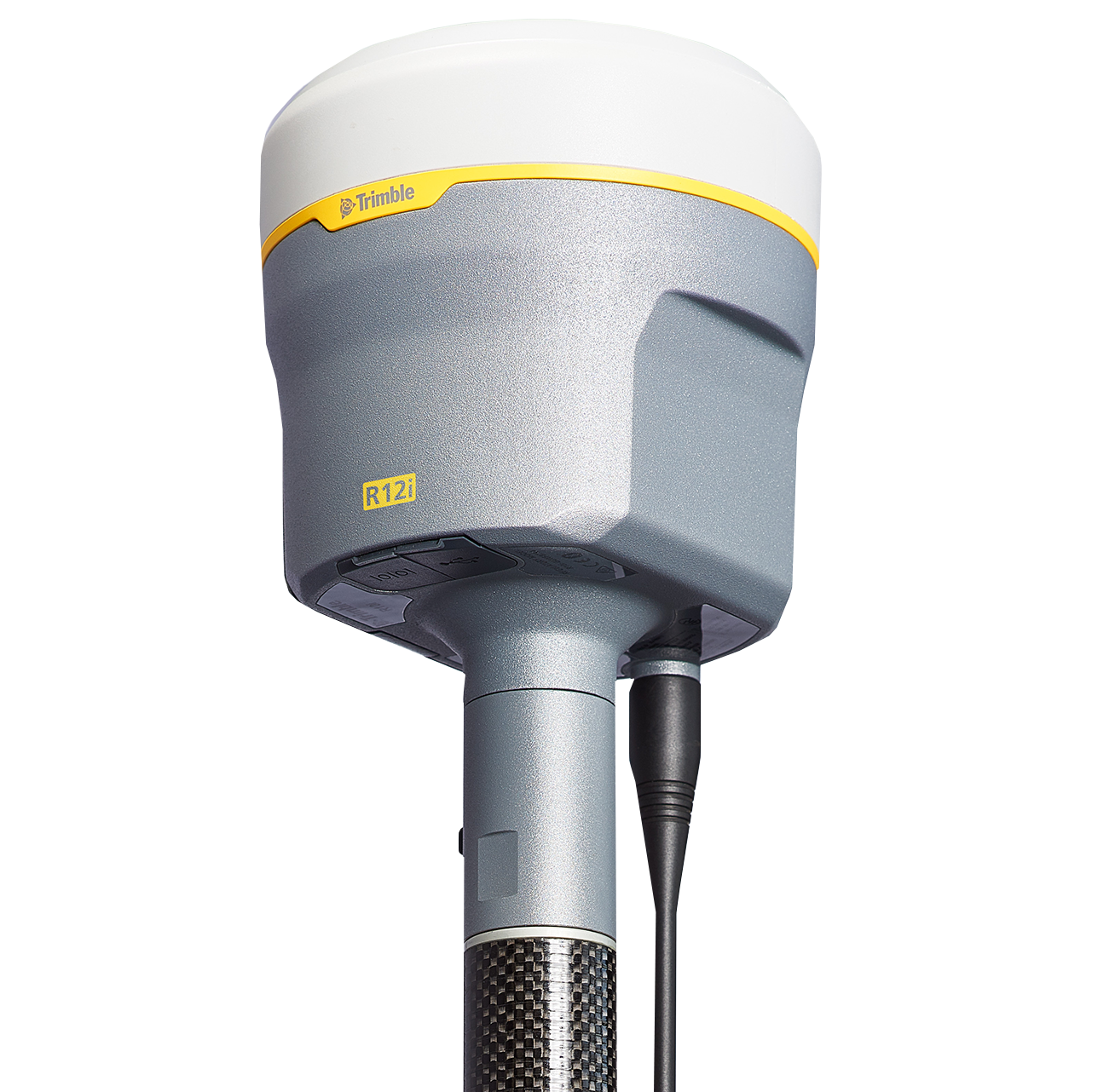
Real-Time Network (RTN) is a system that provides real-time corrections to GNSS (Global Navigation Satellite System) receivers. In Texas, it is provided by TxDOT.
Survey Equipment
